NASA x SCADpro Tourist Pho
Collaborating with a class of 20 students and a subteam of 6, I worked on the ideation phase in fall to create promotional material to educate audiences about the ICESat-2 mission with weekly feedback from our partners at NASA Goddard Space Flight Center. For one of these projects, “Tourist Pho”, I worked as an art director and contributed to ideation including concept art as well as layout, environment modeling, surfacing, and cinematography. The synopsis of the story during earlier iterations: Audiences are brought along on the great adventures of Pho traveling across the globe collecting data. Alongside them, Paige operates at NASA relaying the data and together they shed light on some of the most fascinating places the ICESat-2 satellite has measured. I pitched this idea for a story because I wanted more people to understand that the satellite does not only measure ice but different biomes as well, the Black Forest in Germany is one of these places that has been recorded.
Link to @nasaearth instagram post (Arbor Day)
Link to @NASA_ICE twitter Post (Earth Day)
Phase I:
Phase II:


Brainstorming/ concept art/ storyboards:


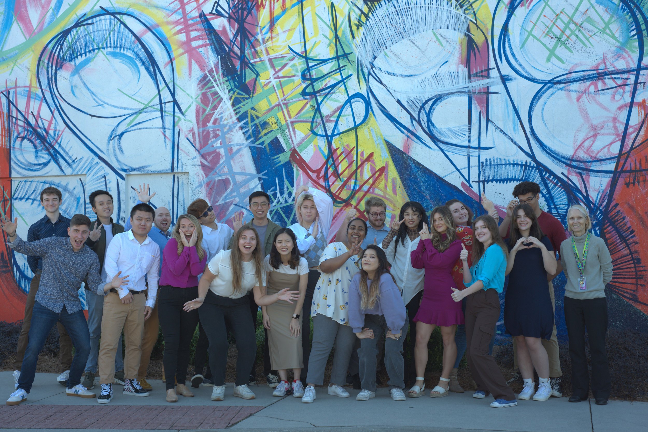
The team and guidance that made the project possible:
NASA Goddard Space Flight Center Partners: Dr. Tom Neumann, Valerie Casasanto, and Adriana Manrique
Director/Supervising Professor: Dr. Deborah Fowler
Fall Team:
Technical Directors: Madison Snow, Dee Divakaran, Avery Chang, Kazue Tng, Qinye Xiang
Animation/ rigging: Rebecca Lau, Skai Chow, Kazue Tng
Storyboards/ concept: Madison Snow, Sara Blaske
Winter Team:
Technical Directors: Amanda Skeith, Monica Chavez Trochez, Dee Divakaran
Animation: Hannah Spillers, Joshua Bates
Sound Design: Caleb Green
Special thanks: Mason Smigel and Daniela Shuping
Character Designs, models, and Pho rig: link to 2016 team
Special thanks also to SCADpro, Dean Dan Bartlett, and Chair Gray Marshall.
Thank you to the ICESat-2 team members who generously contributed their time and expertise.
You can learn more about how the ICESat-2 satellite measures the height of our changing planet here.

NASA x SCADpro Planet Paige
(Cinema 4D to After Effects)
Collaborating with a class of 20 students and a subteam of 6, we created promotional material to educate audiences about the ICESat-2 mission with weekly feedback from our partners at NASA Goddard Space Flight Center. For one of these projects, “Planet Paige,” I worked as a modeler and technical director to bring the vision to life. The goal of this looped animation is to teach audiences that the ICESat-2 satellite measures elevation of ice sheets, glaciers, sea ice, and more.
The team and guidance that made the project possible:
Director: Qinye Xiang
Technical Directors: Madison Snow + Qinye Xiang
Character Design: Adriana Manrique
Character Modelers: Faith Zeng + Rebecca Lau
Character Riggers: Mason Smigel
Character Animators: Kazue Tng + Joshua Bates
3D Environment Modelers: Madison Snow, Kazue Tng, and Qinye Xiang
2D Background Designer: Cai Burks
2D FX Artist & Compositor: Dee Divakaran
Sound Designer: Caleb Green
Professor: Dr. Deborah Fowler